Services
Techtrend Systems can provide our clients with several services using drones , ground cameras and media editing. Drone photography and videography is a useful tool for marketing or analysis in several markets. It is our business to acquire and deliver information in a way that our customer can use it as an actionable product . Depending on the sensor used, there are endless possibilities as to what benefits and value this information can provide our clients.
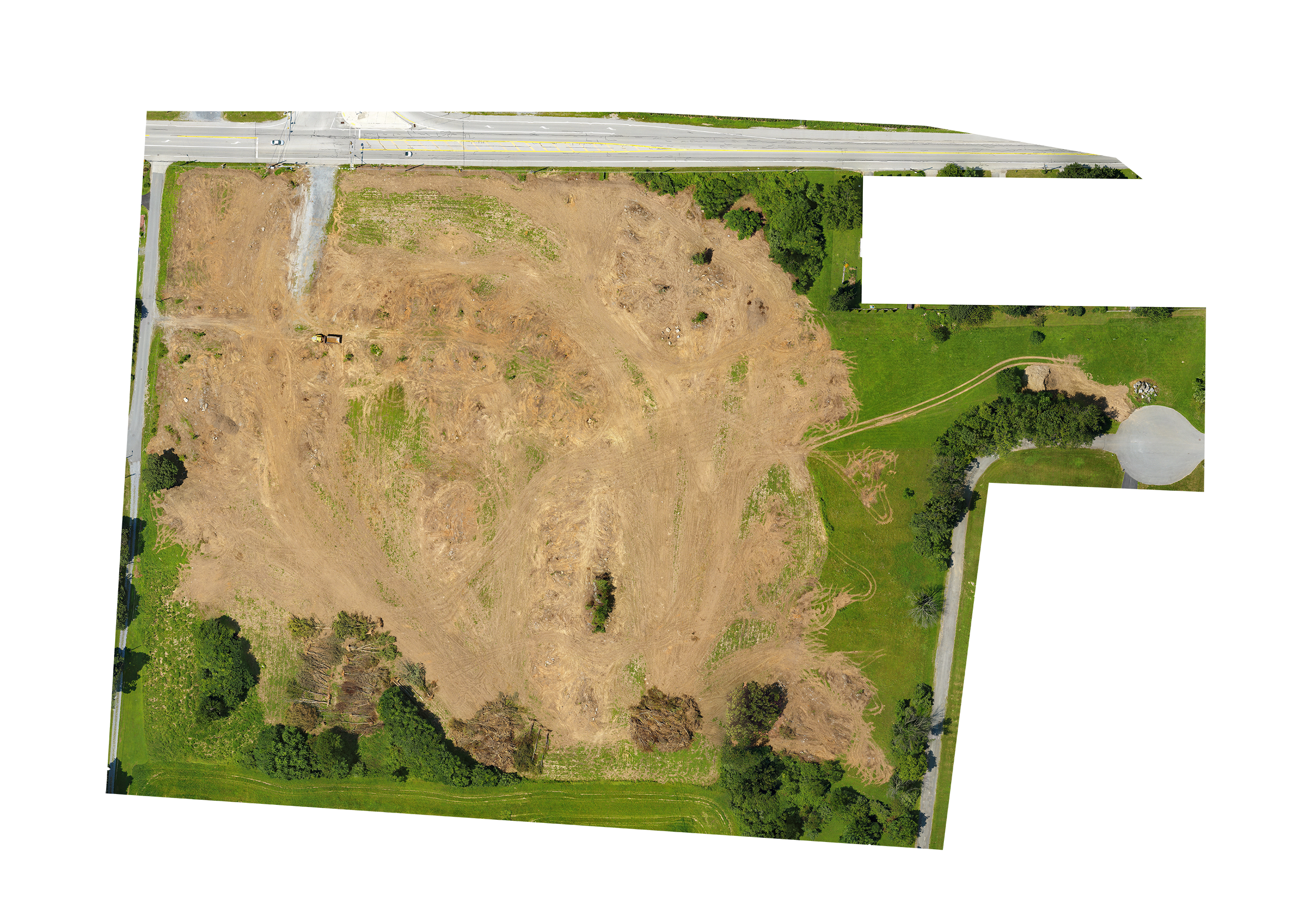
aerial mapping and geospatial data collection
2D & 3D MAPPING SOLUTIONS
Techtrend Systems’ aerial data collection can provide enormous amounts of valuable and actionable data for many sectors and industries. Together, we determine your desired deliverable and frequency of data collection and then develop a workflow that gets you the information in a way that serves your individual needs. This includes 2D & 3D mappinig, cut and fill, volumetrics and models.
UAS / DRONE
Certified Part 107 Pilots
PHOTOGRAPHY
Detailed & Edited
EDITING
Groomed Data for Presentation
WEB DESIGN
Placement on the Internet
uas / drone Services
real estate
Drone photography and videography convey a comprehensive story to the prospective buyer. Adding proximity shots to the listing that present an exciting tour of the property location. Realtors that utilize aerial technology have been finding their listings getting increased activity, more inquiries and quicker sales. Techtrend Systems has several value added services that realtors simply cannot pass up. Contact us for more information how we can drive more prospects to your inbox.
Agriculture
Aerial surveys of farmland give the agronomist or farmer the insight to be proactive; the result being raising the yield, which raises profit. Our efficient process can collect Digital Surface information for a fraction of the cost of manned aircraft. NDVI, Multispectral, NIR, and NDRE data collection are excellent resources to gauge the quality of your crops, Chlorophyll content, chemical deficiencies, anomalies, moisture and more. Techtrend Systems can provide an Orthomosiac, Surface Model or custom datasets that will allow maximum utilization of the farming and growers process.
Inspection
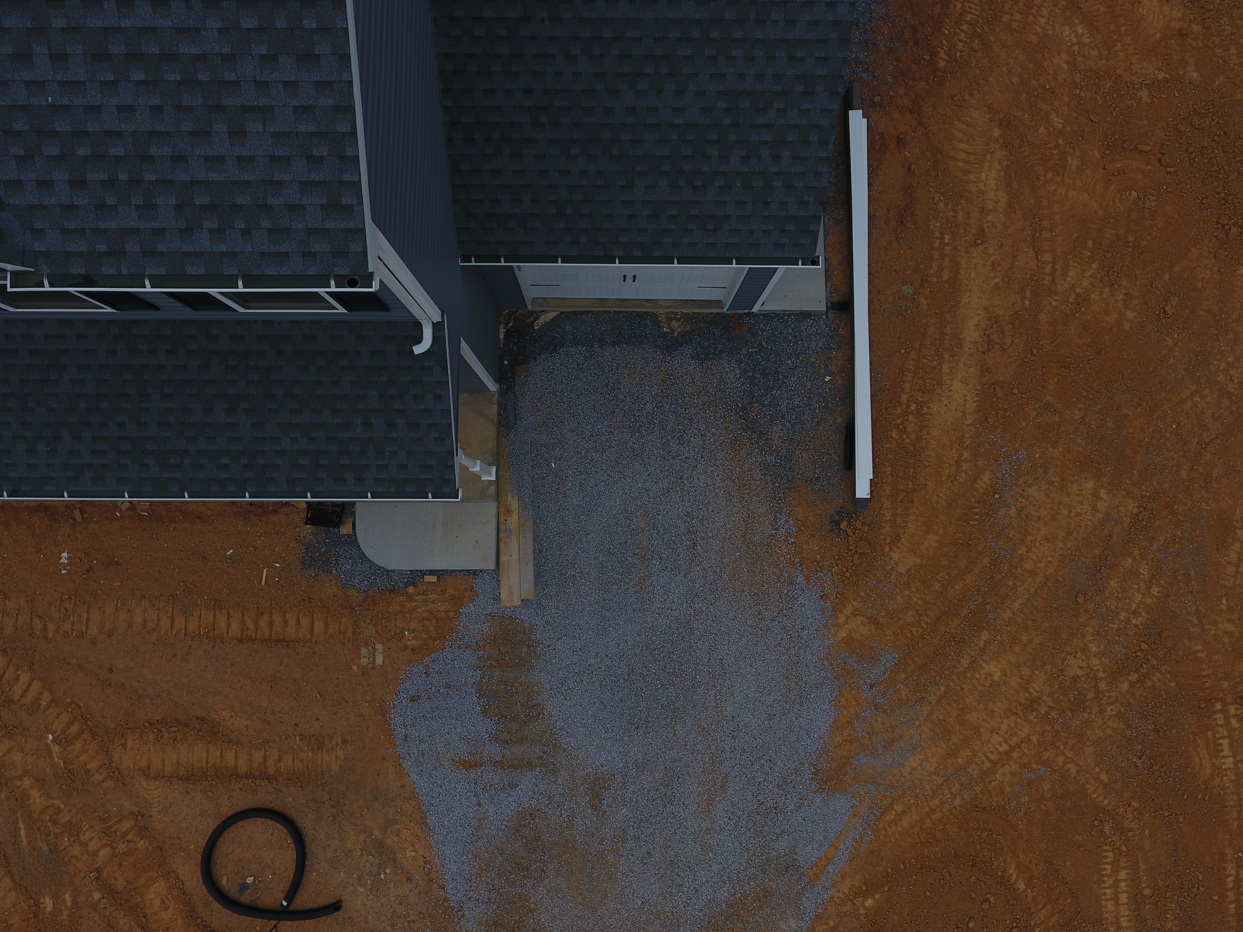
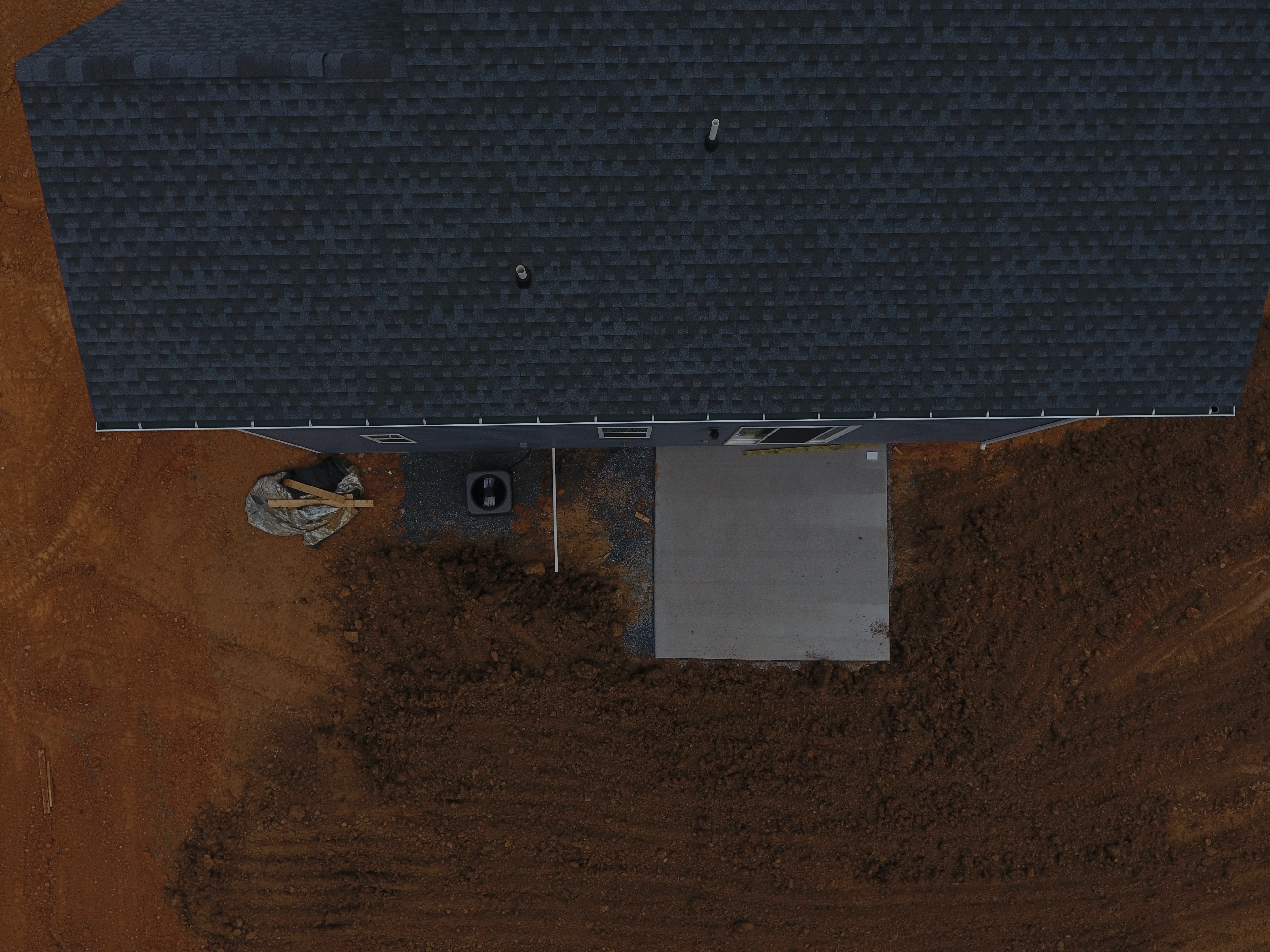
Assets such as towers, buildings, roofs, solar panels require regular inspection to operate safely and efficiently. We can help by implementing sophisticated drone photography to eliminate the high risk and safety concerns related to regular inspections. Overall our aircraft inspections lower costs and speed the delivery of data to our clients and help avoid down time. This new age process also allows the inspection data to be archived for permanent record of installation and asset maintenance or reporting. Possibilities are endless, so Contact us to find a solution.
2D and 3D Mapping
We acquire the data or drone photography, then process and render to create detailed maps that represent current imagery in a single usable asset. This information can also contain elevation data that proves valuable in many industries. Data solutions use photogrammetry (the science of taking measurements from pictures) and orthomosaics to create 3D maps. Orthomosaics adjusts the imagery for topographic relief, lens distortion, and camera tilt: allowing it to be used for true measurement. Our maps are highly accurate and can be used for a wide range of industrial applications, such as construction, surveying, developemnt planning, and land management.
3D Modeling
3D modeling is really taking 3d mapping to the next level. Where our sensors collect data to create 3-dimensional renderings, contours, objects or structures. When we collect for 3D Models, we add oblique data to capture the facades. The computer software can then create a realistic, detailed 3d model. This process allows us to deliver a product at a price point that has basically been unparalleled before the current aircraft technologies.
EVENTS
UAS, or drones, as most call them, are a brilliant tool for collecting special event pictures and video. Our drone photography systems utilize high quality cameras provide our customers with aerial Photos or HD/4k video footage of their memorable events. Promotional media has never been so exciting. Call us for a custom quote for your next photo or video shoot.
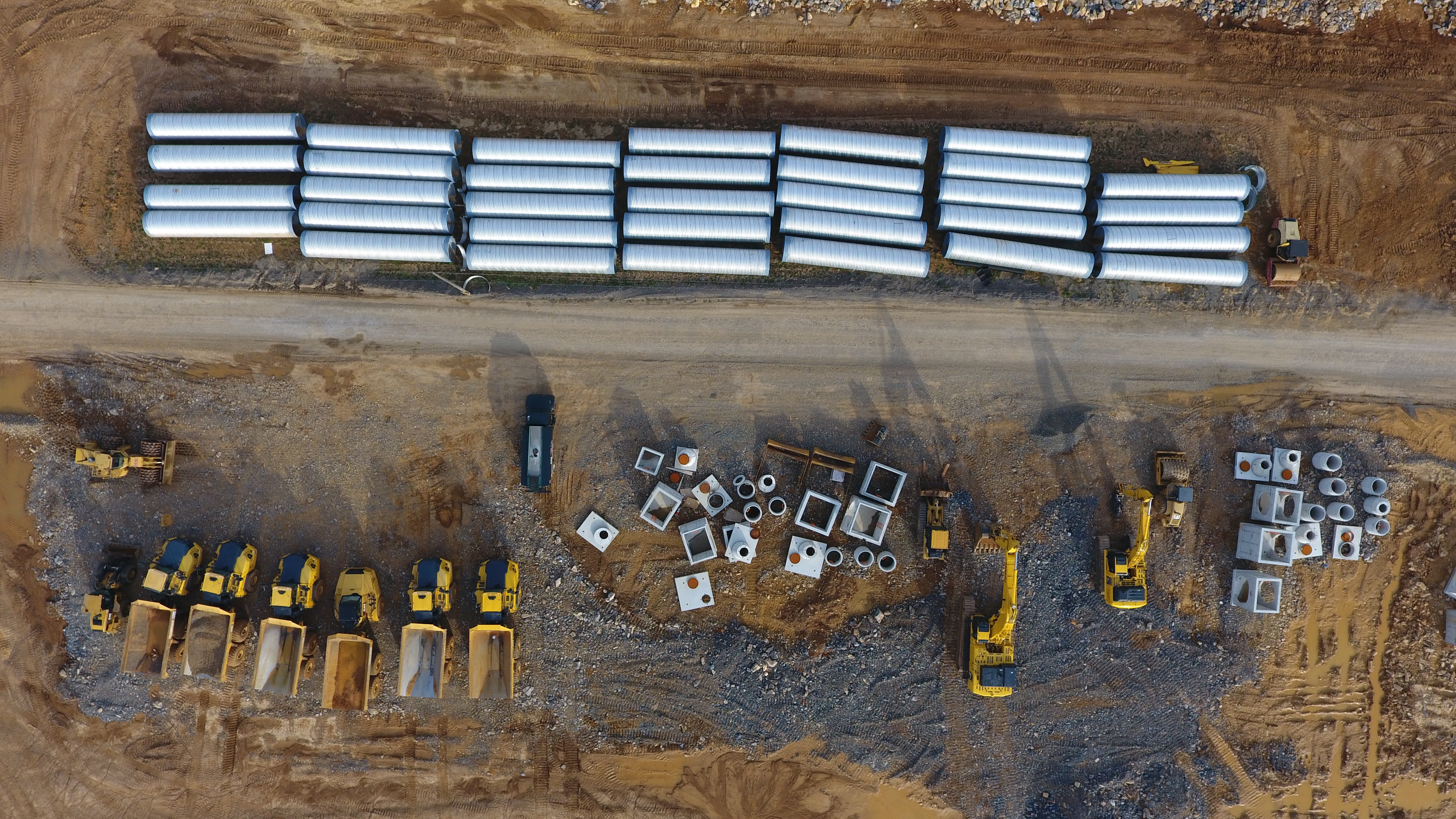
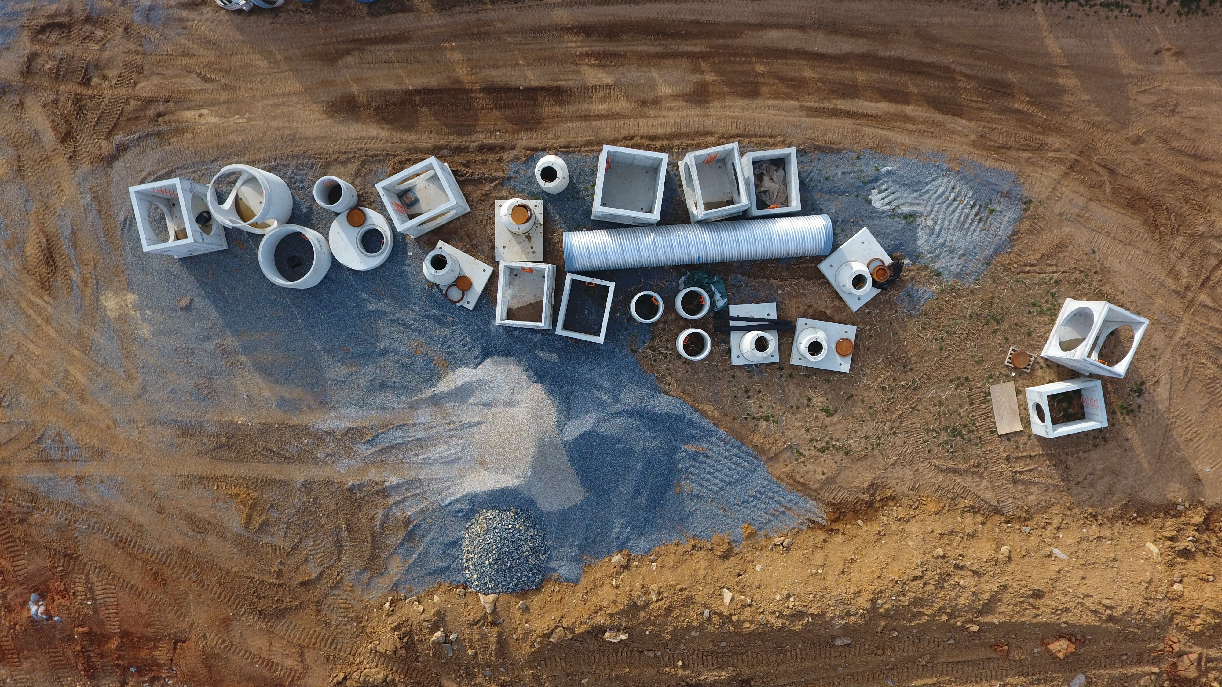
Drone Photography for construction for many different reasons. Permanent record of installation is one of the most overlooked uses.